
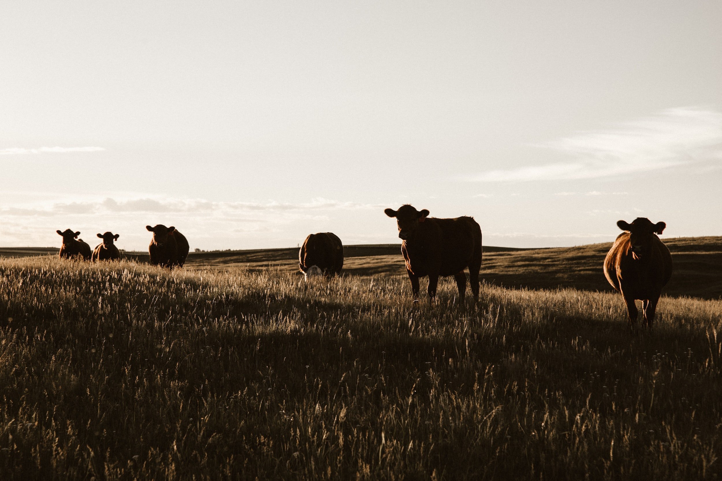
Pasture, Range, and Forage (PRF)
PRF protects against widespread loss of grazing and haying production offering coverage for drought.
The Pasture, Rangeland and Forage policy (PRF) is a FCIC reinsured risk management tool offered by ARMtech for farmers and ranchers who rely on pasture, rangeland, or forage for haying and/or grazing. It offers coverage for a significant reduction in either the vegetative index or rainfall amount in a given geographic area (or grid) containing the insured property. It is NOT based on individual farms or ranches or specific weather stations in the general area.
Both grazing land and hay land utilized for forage production may be insured. The policy is based on the experience of each grid to determine indemnities rather than individual farms or ranches. It indemnifies the insured in the event a grid’s accumulated index (either vegetative or rainfall) is below the insured’s “trigger grid index” (coverage level multiplied by the expected grid index) for the period of insurance. This coverage is offered for landlords and tenants, as well as an owner/operators.
-
Pasture, Range, and Forage (PRF) is available in the states of Alabama, Arizona, Arkansas, California, Colorado, Florida, Georgia, Idaho, Kansas, Maryland, Minnesota, Missouri, Montana, Nebraska, Nevada, New Mexico, New York, North Carolina, North Dakota, Oklahoma, Oregon, Pennsylvania, South Carolina, South Dakota, Texas, Utah, Virginia, Wisconsin and Wyoming. Not all counties are included so please ask your agent for specific county availability.
-
The Vegetation Index uses data from the US Geological Survey Earth Resources Observation and Science data center called the Normalized Difference Vegetation Index (NDVI). This is another measure of the vegetation greenness and is used to estimate plant condition on approximately 4.8 x 4.8 mile grids. The data is a measure of all vegetation in a grid, not a measure of your production. You may select one or more 3-month index intervals that represent your pasture, rangeland or forage practices.
Losses are based on the difference between the normal NDVI data and the actual grid index during the index interval you have selected. When the final grid index falls below your “trigger grid” you will receive a loss payment.
-
The Rainfall Index is based on the National Oceanic and Atmospheric Administration (NOAA) rainfall data in a 12 x 12 mile grid. You must select at least two 2-month index intervals where rain is important to your operation.
Losses are based on the actual rainfall in the grid and how it differs from normal rainfall within the grid and index interval(s) you selected. Coverage is for a single peril: lack of rain.
-
Levels of coverage are 70, 75, 80, 85 or 90% with premium rates stated in dollars per one-hundred dollars of protection. Non-contiguous acreage located in a single grid is combined and insured as a single unit even though they are non-contiguous and the point of reference identifies the Grid ID for all insured acreage. However, a separate point of reference must be selected for each acreage and a FSA farm serial number, tract number and field number for the acreage must be provided on the acreage report.